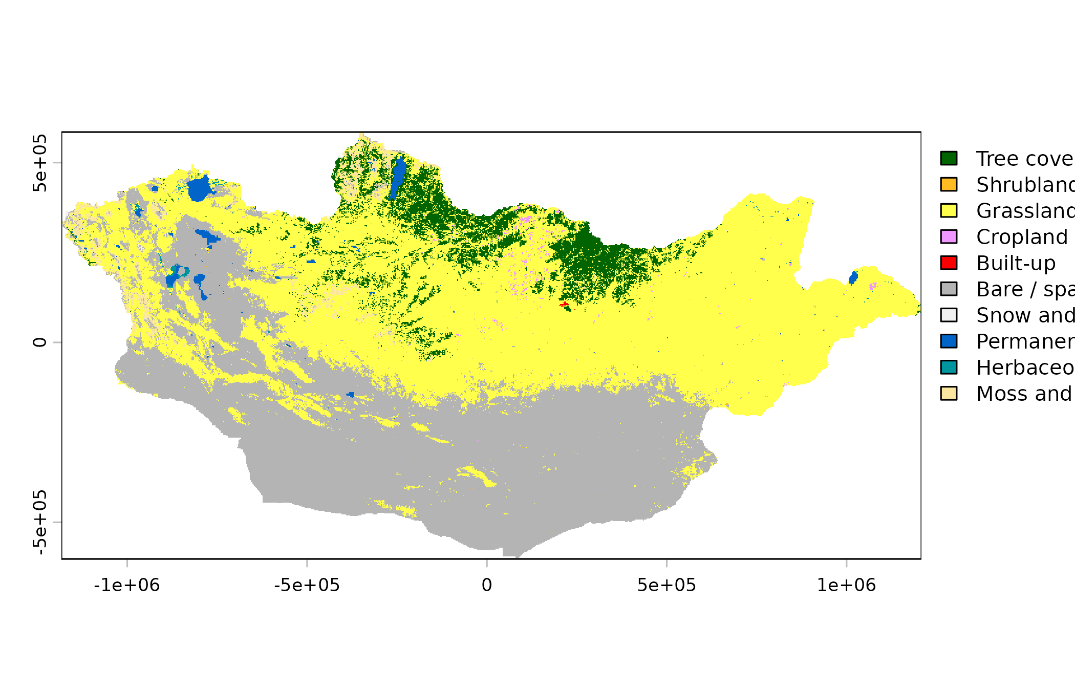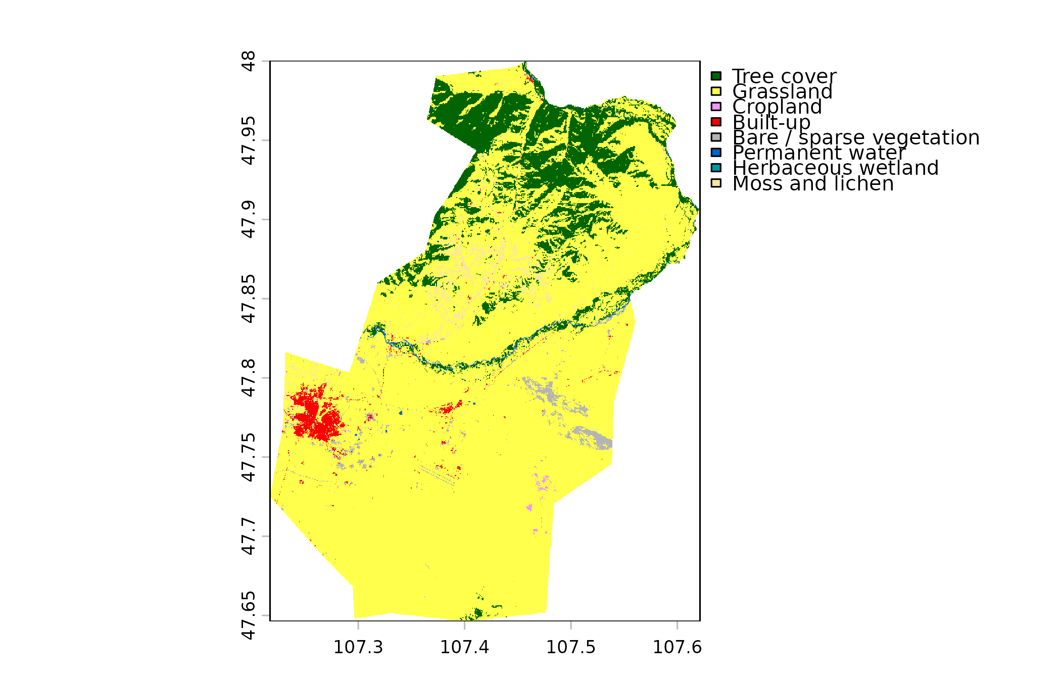
Land cover from ESA WorldCover 2021, in 11 classes such as grassland,
bare ground, cropland and built-up areas. The result is a categorical
raster with class names and the official colours, so terra::plot()
draws it with a legend.
Usage
mn_landcover(
  resolution = c("1km", "10m"),
  within = NULL,
  mask = TRUE,
  crs = NULL
)
Arguments
- resolution
"1km"or"10m".- within
Area to return (names or codes). Required for the online resolutions:
"90m"elevation and"10m"land cover.- mask
If
TRUE(default), cells outside Mongolia (or outsidewithin) are set toNA.- crs
Coordinate reference system of the result.
NULL(default) keeps longitude/latitude (EPSG:4326). Use"albers","lcc"or"utm"for a projection suited to Mongolia (seemn_crs()), or any value accepted bysf::st_crs().
Details
resolution = "1km"(default): national grid, majority class of each square kilometre, downloaded once (about 2 MB).resolution = "10m": the original 10 m data for the area inwithin(a soum, district or smaller aimag), read from the cloud.
Source
ESA WorldCover 10 m 2021 v200, (c) ESA WorldCover project / contains modified Copernicus Sentinel data (2021) processed by the ESA WorldCover consortium. CC BY 4.0.
See also
Other raster layers:
mn_elevation(),
mn_population(),
mn_zonal()