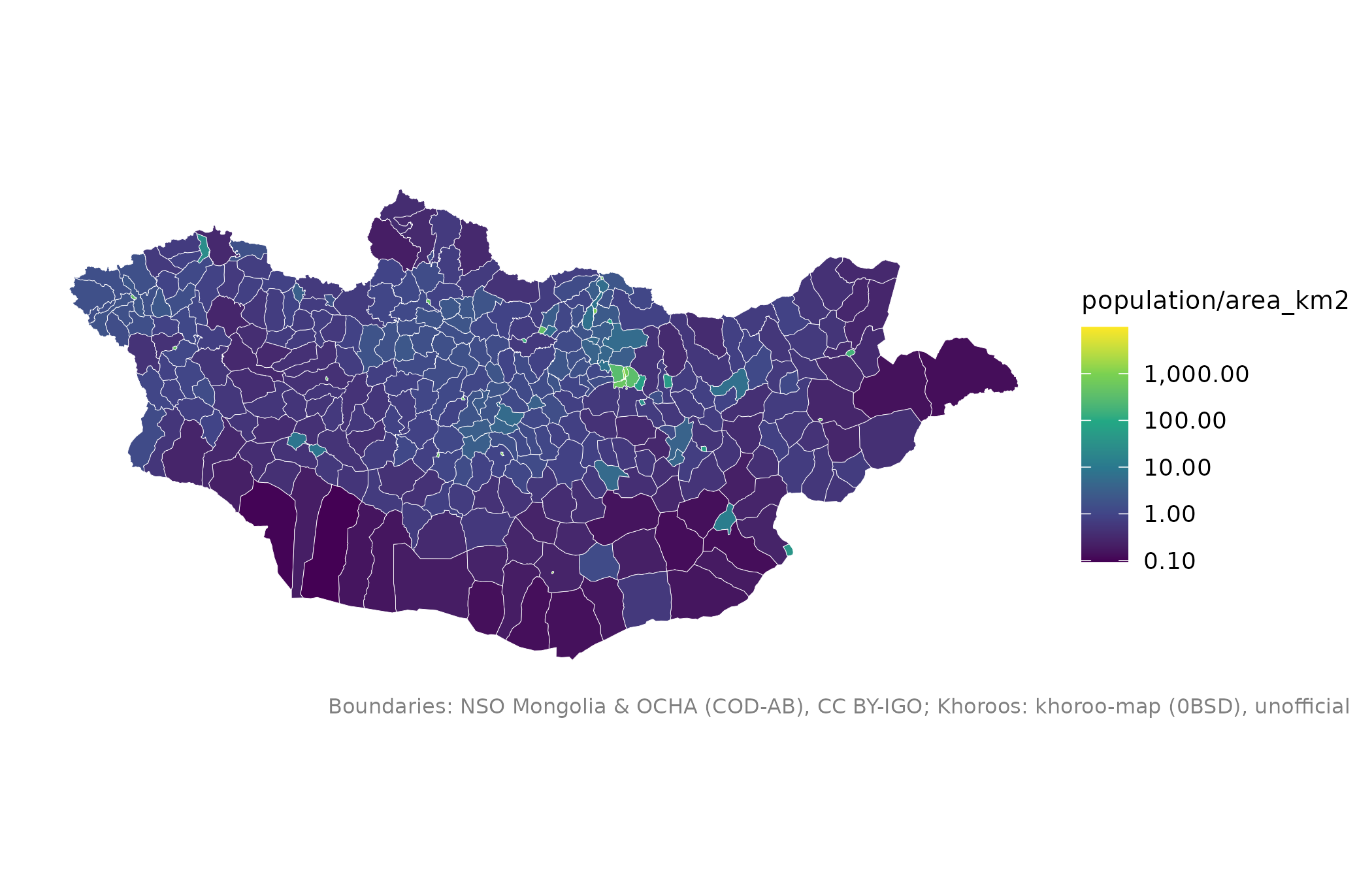
Adds a column to x with a summary of the raster cells in each unit, for
example the total population of every soum or the mean elevation of every
aimag.
Usage
mn_zonal(
  r,
  x = NULL,
  fun = c("sum", "mean", "min", "max", "median"),
  name = "value"
)
Arguments
- r
A
terraSpatRaster (one layer), such as frommn_population().- x
An
sfobject of polygons, such asmn_soums(). Defaults to the aimags.- fun
Summary function name:
"sum"(default),"mean","min","max"or"median".- name
Name of the new column.
See also
Other raster layers:
mn_elevation(),
mn_landcover(),
mn_population()
Examples
soum_pop <- mn_zonal(mn_population(2025), mn_soums(), name = "population")
mn_map(soum_pop, fill = population / area_km2, trans = "log10")