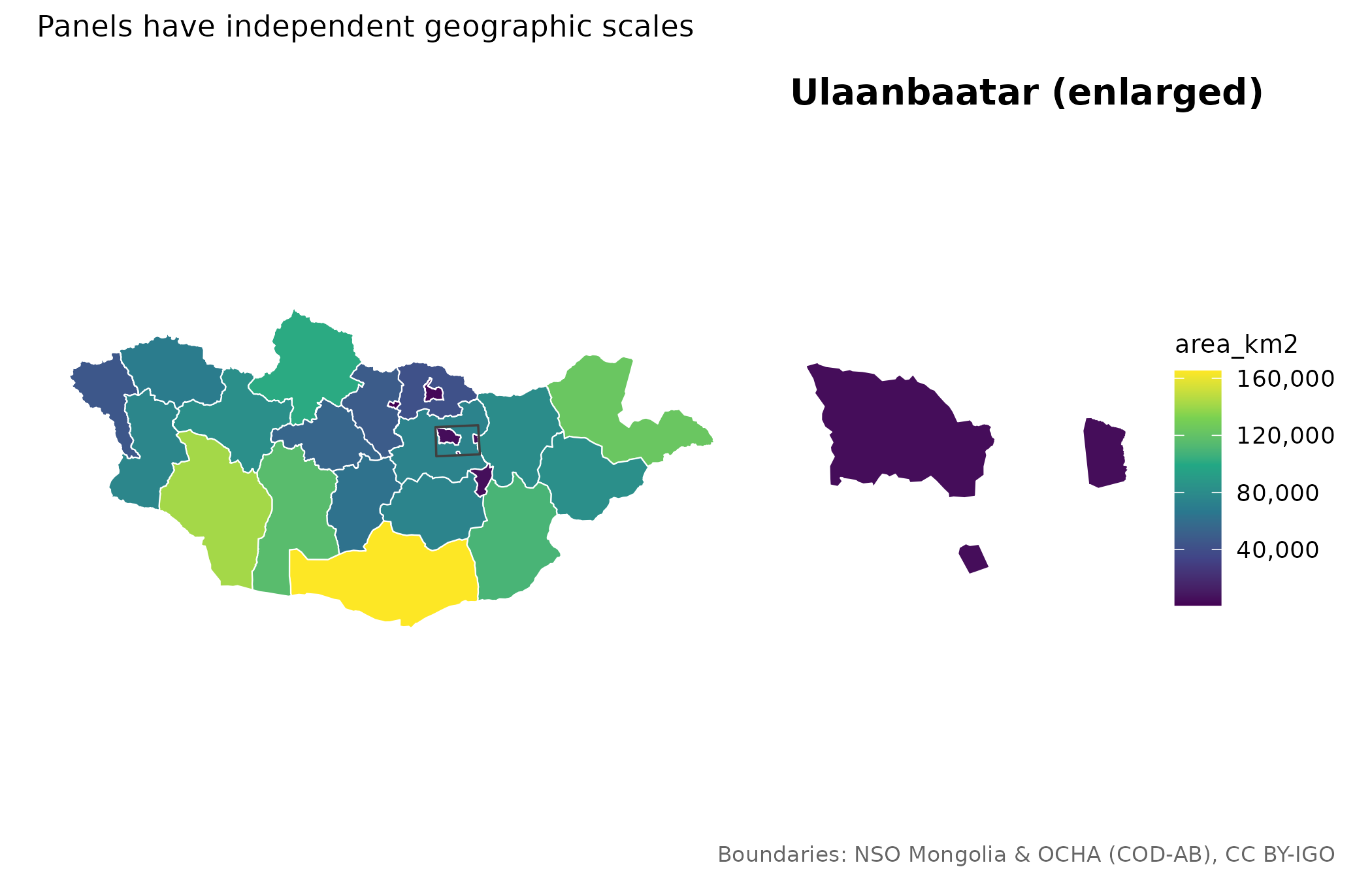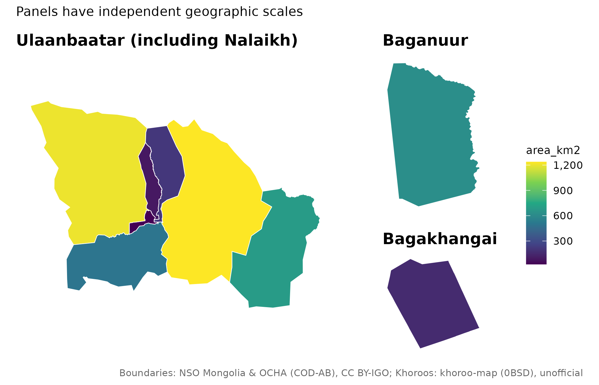
Compose ordinary ggplots without shifting any analytical coordinates. All panels share fill limits and breaks. When supplying different data to the national and urban panels, their fill expressions must have compatible units. Insets have independent map scales.
Usage
mn_inset_ub(
  x = NULL,
  ub = NULL,
  fill = NULL,
  label = FALSE,
  title = NULL,
  limits = NULL,
  breaks = NULL,
  ...
)

mn_map_ub(
  x = NULL,
  fill = NULL,
  label = FALSE,
  title = NULL,
  limits = NULL,
  breaks = NULL,
  ...
)
Arguments
- x
A national map for
mn_inset_ub(), or a UB district/khoroo map formn_map_ub(). Defaults to aimags or UB districts respectively.- ub
Optional urban data for the inset. By default, select Ulaanbaatar units from
x; if none exist, stop rather than invent data.- fill
An unquoted fill column/expression, as in
mn_map().- label
Label units in each panel.
- title
Overall title.
- limits, breaks
Shared fill scale limits and breaks.
- ...
Additional arguments to
mn_map(), such aslang,trans,binsormidpoint.
See also
Other mapping helpers:
mn_aimag_grid,
mn_crs(),
mn_erase_water(),
mn_label_points(),
mn_leaflet(),
mn_map(),
mn_ub_grid,
theme_mn()