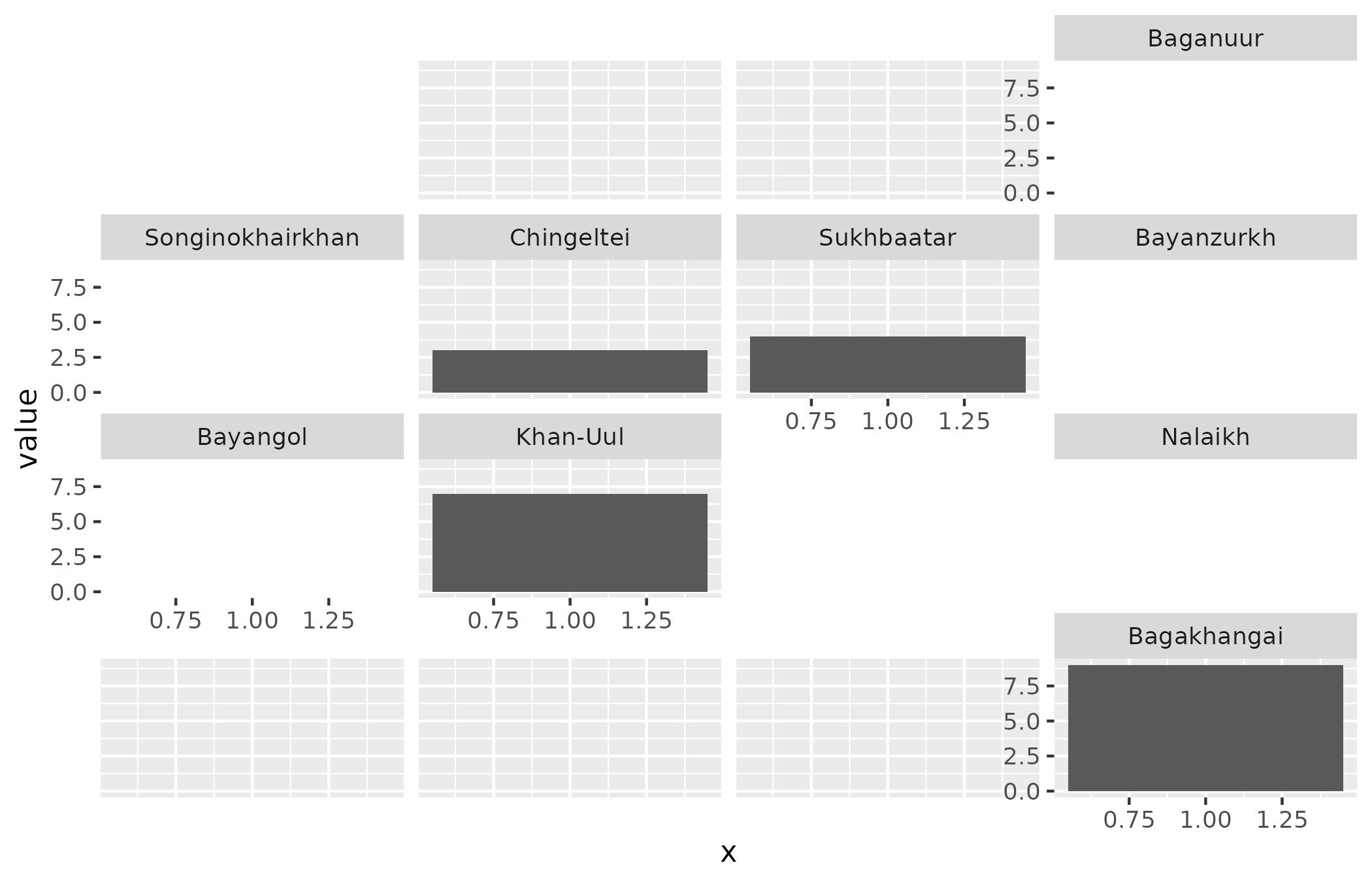
Approximate positions of the nine districts, suitable for geofacet. This layout is a cartographic arrangement, not a coordinate system.
Format
A data frame with nine rows and columns row, col,
code (district pcode) and name (English name).
See also
Other mapping helpers:
mn_aimag_grid,
mn_crs(),
mn_erase_water(),
mn_inset_ub(),
mn_label_points(),
mn_leaflet(),
mn_map(),
theme_mn()
Examples
data <- mn_ub_grid
data$value <- seq_len(nrow(data))
ggplot2::ggplot(data, ggplot2::aes(1, value)) +
  ggplot2::geom_col() +
  geofacet::facet_geo(~code, grid = mn_ub_grid, label = "name")
#> Note: You provided a user-specified grid. If this is a generally-useful
#>   grid, please consider submitting it to become a part of the geofacet
#>   package. You can do this easily by calling:
#>   grid_submit(__grid_df_name__)
#> Warning: no non-missing arguments to min; returning Inf
#> Warning: no non-missing arguments to max; returning -Inf
#> Warning: no non-missing arguments to min; returning Inf
#> Warning: no non-missing arguments to max; returning -Inf
#> Warning: no non-missing arguments to min; returning Inf
#> Warning: no non-missing arguments to max; returning -Inf
#> Warning: no non-missing arguments to min; returning Inf
#> Warning: no non-missing arguments to max; returning -Inf
#> Warning: no non-missing arguments to min; returning Inf
#> Warning: no non-missing arguments to max; returning -Inf
#> Warning: no non-missing arguments to min; returning Inf
#> Warning: no non-missing arguments to max; returning -Inf
#> Warning: no non-missing arguments to min; returning Inf
#> Warning: no non-missing arguments to max; returning -Inf